Ash Hollow State Historical Park
|
Ash Hollow State Historical Park
Click here for official web site Ash Hollow was a major stopping-off point on the Oregon, California, and Mormon Trails. The spring-fed site was a gateway to the North Platte River, abundant with fresh water, wood, and grazing for the pioneers. Wagons descending into the valley over the steep grade of Windlass Hill scraped ruts into the hillside, still visible today. Today's park offers a rock schoolhouse, sod house, ancient cave, freshwater spring, museum and interpretive center, and is home to the Ash Hollow Pageant, an outdoor musical and dramatic performance of life on the Oregon — California Trail held every Father's Day weekend. Location 3.5 miles southeast of Lewellen on U.S. Hwy 26 Hours of Operation
Day Fees
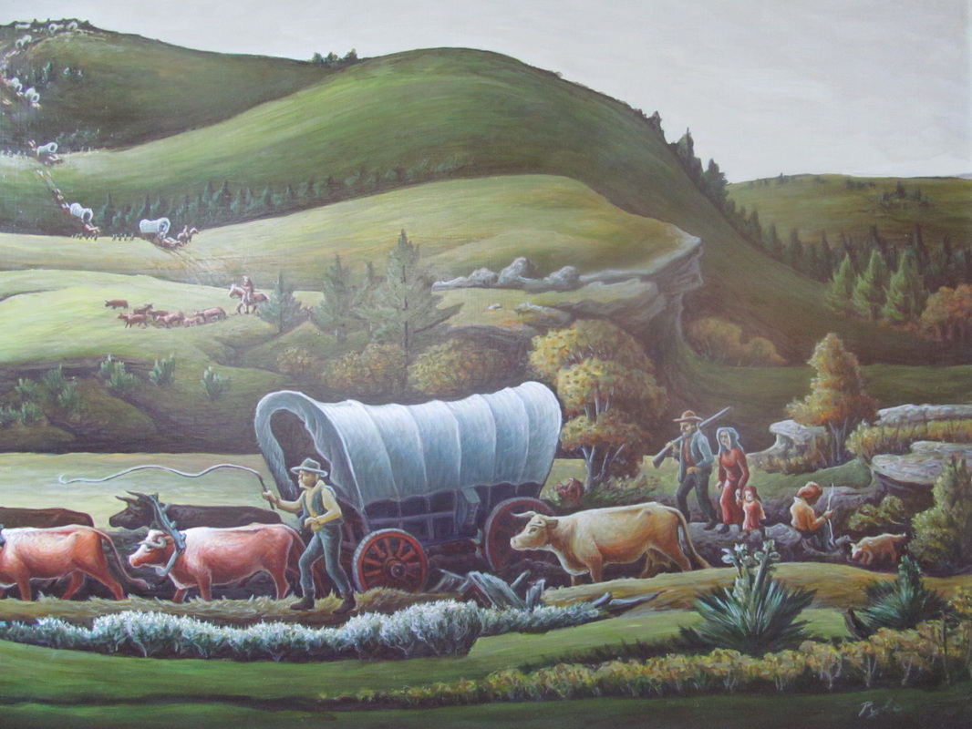
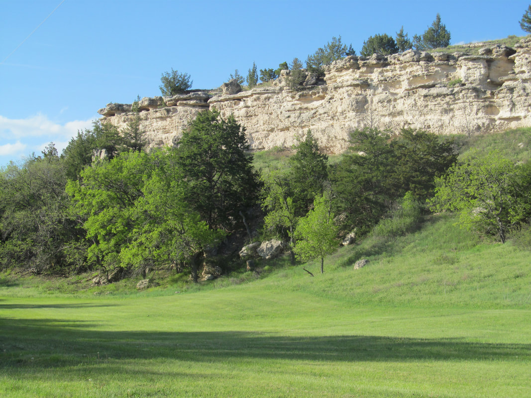
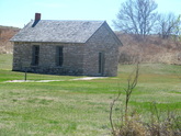
Pioneers: Ash Hollow State Historical Park, located three miles southeast of Lewellen on Hwy. 26, celebrates the history of the Oregon - California Trails. Ash Hollow is one of the most mentioned places in pioneer diaries. (Painting by Aaron Pyle 1909-1972 - student of Thomas Hart Benton on display at Visitor's Center) Pioneers on the Oregon - California Trail crossed the Missouri - leaving the States - at locations from Omaha to St. Joseph, Missouri then converged with almost everyone following the Platte River around Grand Island. The pioneers followed rivers on their way west, needing water for themselves and their livestock. The trail is generally along the south side of the Platte River to about Brule where the pioneers crossed the south branch of the Platte and headed to the North Platte at Ash Hollow. After many miles of flat river bottom, the pioneers encountered their first big trial, getting down from the table land into the river bottom. Windlass Hill was one of the best locations as it had a hill without rock ledges. The trail winds along the top of the bluff out to the point of the hill and then can be seen as gullies or swells worn into the hill where wagons came down single file. The pioneers were thrilled with Ash Hollow once they arrived at the bottom, finding fresh spring water, a treat after miles of river water, and wood - the first they had seen for 200 miles. They described the Hollow is glowing terms, like a fairyland with blooming wild roses and verdant vales. Other History: The Ash Hollow geological formation is composed primarily of stream transported sediments heavy with sands,silt and volcanic ash. Fossils include mammoths, turtles, camels, horses, beavers and many invertebrates. Fossil collecting is not allowed in the State Historical Park. Geologic History - UNL Archeological digs at Ash Hollow Cave and the nearby Clary site found early Americans lived in the area from 300 years ago to 9,000 years ago. The cave site is open through the Visitor's Center. Lakota lived in the area until the late 1800's. Pioneers wrote of seeing as many as 200 tipis at Ash Hollow and many of groups of Lakota (Sioux) in the area. General Harney camped at Ash Hollow and spotted the camp of Little Thunder at Blue Water. Early the next day the troops attacked the camp leaving many dead and taking seventy prisoners. (PHOTO) The rock school at the southeast corner of the park was made of native stone by some of the first white settlers to the area. |
TOUR
For an official hiking trails map and trail description click files below.
For a complete driving tour, click here.
SPECIAL Events 2023
May 21 Free Park & Kids Fishing Day All Nebraska State Parks free on May 21 - no permit required Free fishing - no license required for kids 17 and under Sept. 9-11 3nd Annual Ash Hollow Rendezvous 9:00am to 5:00 pm Oct. 21 Halloween in the Hollow Important Notices for Visitors
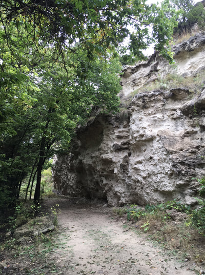
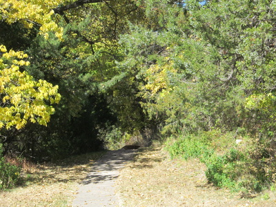
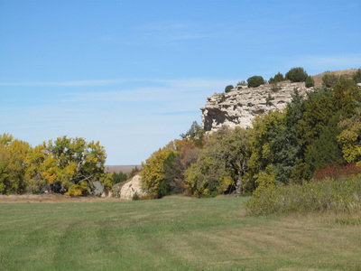
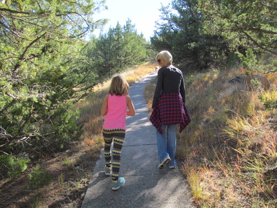
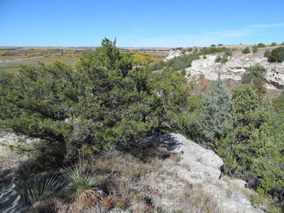
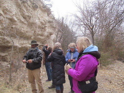
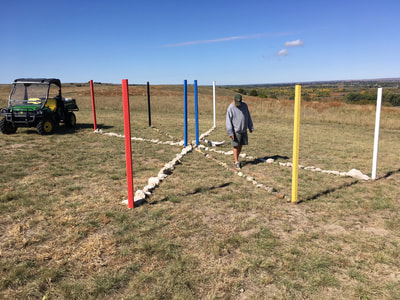
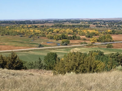
Windlass Hill: Arriving from the east, Windlass Hill is clearly marked on the west side of Hwy. 26. Look for wagon ruts and check out the inside of the wagon for more information. A sod house stands at the bottom of the hill, made by the Lewellen Lion's Club in 1967 for the Nebraska Centennial. Visitor's Center: Travel on towards Lewellen on Hwy. 26 to the main gate of Ash Hollow State Historical Park. The visitor's center is at the top and left of the large hill in front of the gate. At the top, stop for a view of the North Platte River valley. Inside are historic displays and photos. Rock Overhang - Archeological Site: Walk partway down the bluff from the Visitor's Center to the enclosed cave to see the dig site where tools of prehistoric Indians were found. Rock School: Drive along the top road south to the rock school built of native stone. A short walk along the bottom brings you to the site of a trading post. Rachel Pattison Grave: Not actually part of the park, a stop at Rachel Pattison's grave at Ash Hollow cemetery is worthwhile. Married only three months, she "took sick in the morning and died that night" of cholera. Her stricken husband stayed behind to carve a stone marker then caught up with the rest of his family. His brother's descendants report that Nathan never married and stayed true to Rachel. Hiking Trails: A great hike along the actual Oregon Trail goes from the rock school past the trading post and continues north along the bluff. There are a number of mowed paths along the trail. It is a little over one mile from the rock school to the entry road. For a great three mile hike, part at the visitor's center and walk down the sidewalk path to the spring and pond, continue past the picnic area to the entry road. Cross the road and follow along the bluff (you will be walking the Oregon Trail in reverse) to the rock school and then up the road to the visitor's center. This trail has significant elevation changes. Watch for rattle snakes if you decide to climb in rocky areas. A new trail near the visitor center is a one mile walk - round trip - from the parking lot to the edge of the bluff. From that point visitors can see the path of the California-Oregon Trail on the south side of the river and the Mormon Trail on the north side of the river. The point also allows a view of the location of Fort Grattan - 1855. An unmarked grave at the point may be that of the fifth soldier to die in the Massacre of Blue Water Creek. He was injured and died a few days later. (See photo below) To support Ash Hollow State Historical Park - click here: "Friends of Ash Hollow."
| ||||||||||||||||||
